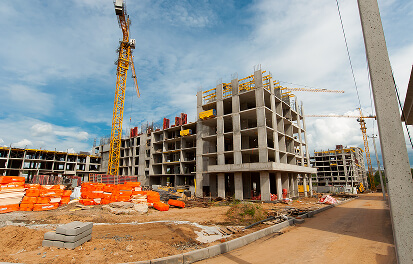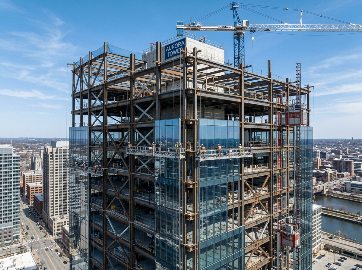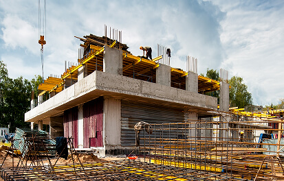
Modern logistics and automated fulfillment centers require unprecedented floor flatness tolerances (FF/FL numbers exceeding 65/50). On our 350,000 sq.ft Highland Logistics Hub, the integration of autonomous RTK drone survey flights and 5D BIM clash detection workflows has dramatically accelerated execution timelines.
Real-Time Volumetric Calculation
Weekly aerial photogrammetry scans generate dense 3D point cloud meshes that are overlaid directly with structural IFC design models. This enables millimeter-accurate earthwork cut/fill balancing and verifies pre-engineered steel column anchor bolt alignments prior to portal frame delivery.
Written by Tariq Hasan, BIM Systems Director
Technical project lead specializing in structural concrete mechanics, BIM coordination, and high-tolerance infrastructure delivery.